Mapbox |
76% SW Score The SW Score ranks the products within a particular category on a variety of parameters, to provide a definite ranking system. Read more
Visit Website
|
88% SW Score The SW Score ranks the products within a particular category on a variety of parameters, to provide a definite ranking system. Read more
Visit Website
|
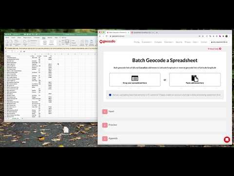
| Description | Geocodio has easy-to-use tools like spreadsheet upload and an API, friendly restriction-free terms of use, affordable pay-as-you-go pricing with a generous free tier, and a truly unlimited option for high-volume needs. Save time by appending other data points you need, like Congressional districts and timezones. Read more | Teams use Atlas to create, collaborate, and share maps seamlessly. With real-time editing and easy data uploads, teams can keep projects moving forward using comments and annotations. Atlas connects directly to the data, making sharing delightful and straightforward. Gone are the days when GIS analysis was reserved for experts; Atlas allows anyone to perform advanced geospatial analyses effortlessly. Create zones around any feature with just a few clicks, input the location, set travel parameters, and visualize accessible areas instantly. Whether interested in locating the nearest hospitals or fire stations, Atlas highlights the closest options efficiently. These tools are designed to help one understand the location-based data better, regardless of the expertise level. Atlas makes advanced analysis simple and accessible for everyone. Read more |
| Pricing Options |
|
|
| SW Score & Breakdown |
76% SW Score The SW Score ranks the products within a particular category on a variety of parameters, to provide a definite ranking system. Read more
|
88% SW Score The SW Score ranks the products within a particular category on a variety of parameters, to provide a definite ranking system. Read more
|
| Total Features |
3 Features
|
10 Features
|
| Common Features for All |
3D Imagery
Census Data Integration
Color Coding
Geocoding
Image Exporting
Image Management
Internet Mapping
Labeling
Map Creation
Map Sharing
Spatial Analysis
|
3D Imagery
Census Data Integration
Color Coding
Geocoding
Image Exporting
Image Management
Internet Mapping
Labeling
Map Creation
Map Sharing
Spatial Analysis
|
| Organization Types Supported |
|
|
| Platforms Supported |
|
|
| Modes of Support |
|
|
| API Support |
|
|
| User Rating |
|
|
| Rating Distribution |
|
|
| Read All User Reviews | Read All User Reviews |
AI-Generated from the text of User Reviews
| Pricing Options |
|
|
|
Pricing Plans
Monthly Plans
Annual Plans
|
Pay as You Go Custom Unlimited Geocoding $1,000.00 $1,000.00 per month |
Starter Free Professional Others Organization Others Enterprise Custom |
|
View Detailed Pricing
|
View Detailed Pricing
|
| Screenshots |

|

+ 3 More
|
| Videos |
+ 2 More
|
Not Available |
| Company Details | Located in: Arlington, Virginia Founded in: 2014 | Located in: Oslo, Norway |
| Contact Details |
Not available |
Not available |
| Social Media Handles |
|
Not available |
Looking for the right SaaS
We can help you choose the best SaaS for your specific requirements. Our in-house experts will assist you with their hand-picked recommendations.
Want more customers?
Our experts will research about your product and list it on SaaSworthy for FREE.


